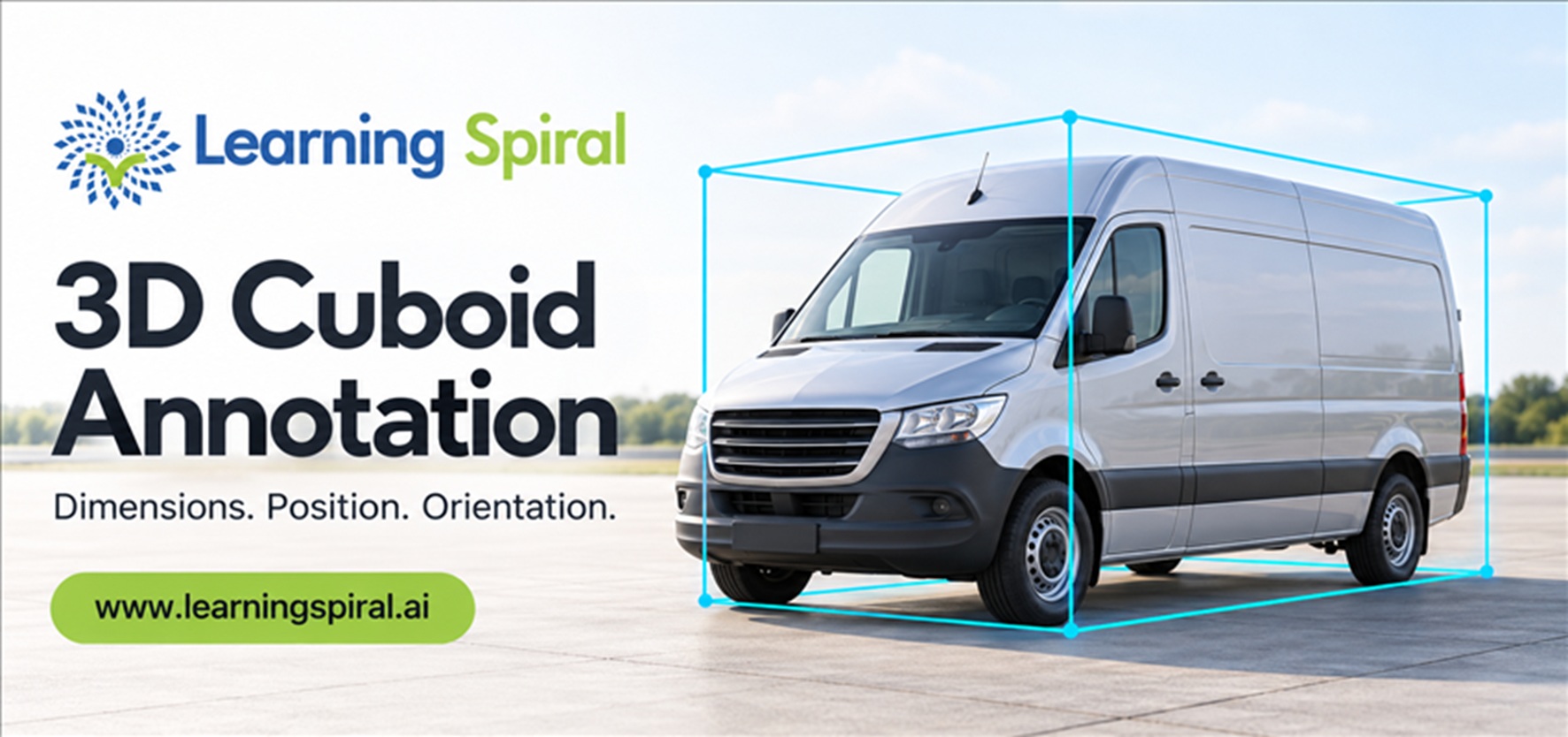
How does AI learn the size, location and orientation of real-world objects? Explore 3D cuboid annotation, LiDAR labeling, quality control and its role in training smarter Spatial AI systems.
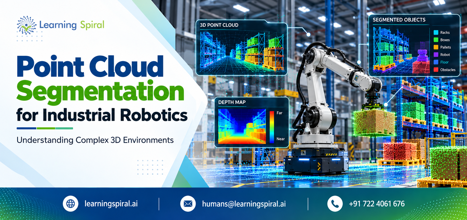
Industrial robots need more than cameras to work safely. Discover how point cloud segmentation and LiDAR annotation turn raw 3D scans into reliable AI training data.
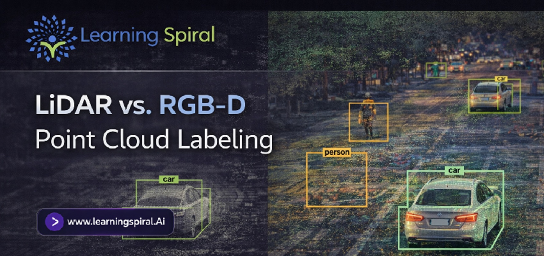
LiDAR and RGB-D sensors both give AI systems spatial information, but the data they generate - and the way that data must be labeled - can be very different. Explore how LiDAR vs. RGB-D point cloud labeling works, where each approach performs best, and what AI teams should consider...
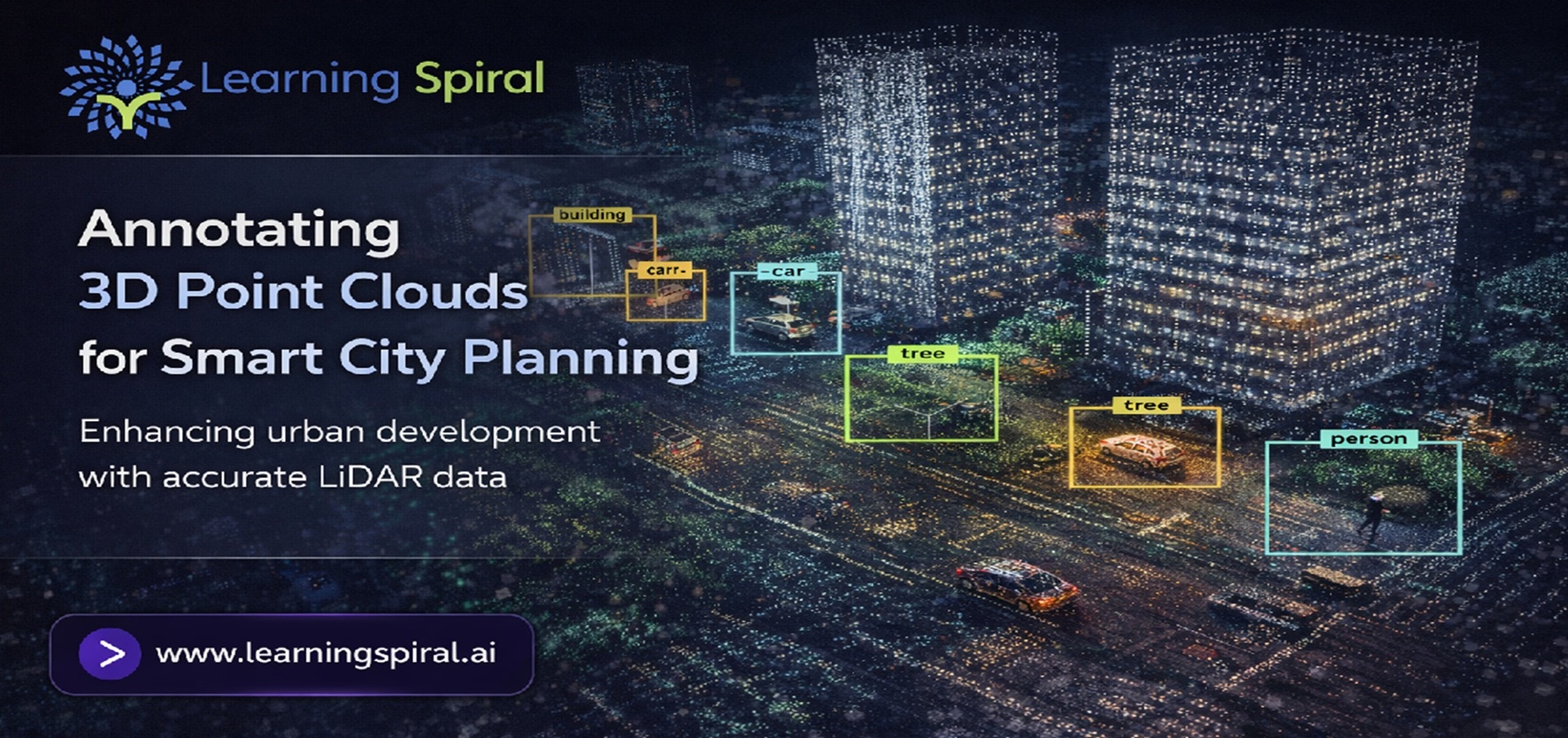
Modern cities generate enormous volumes of LiDAR and spatial data, but raw scans alone cannot guide intelligent planning. Discover how 3D point cloud annotation transforms complex urban environments into structured AI training data for smarter transportation, infrastructure, mapping, safety, and future-ready city development.
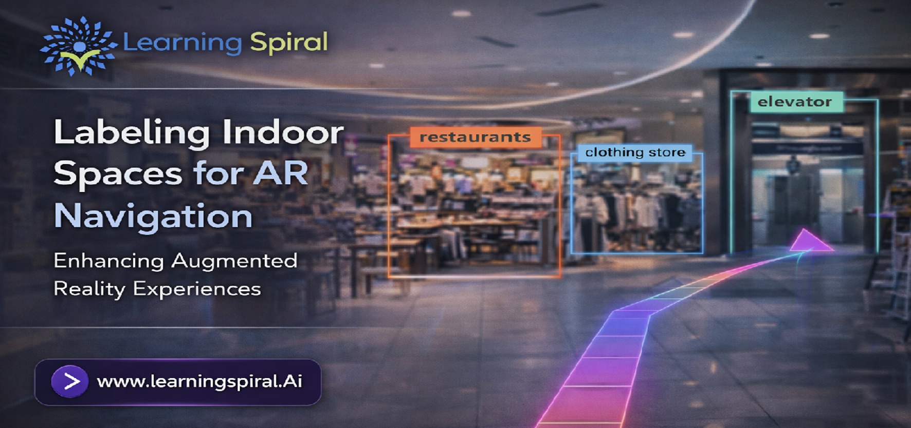
AR navigation needs more than a digital map. It requires accurately labeled visual and spatial data that helps AI understand doors, corridors, landmarks, obstacles and navigable paths. Explore how indoor space annotation turns raw images, videos and 3D scans into reliable training data for smarter AR navigation.
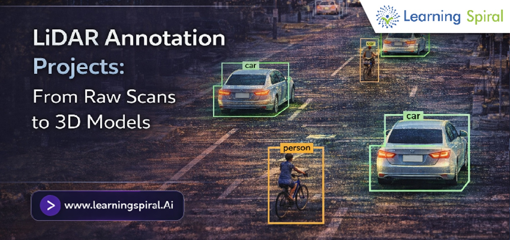
Discover how LiDAR annotation projects convert raw spatial scans into labeled 3D models that support autonomous vehicles, robotics, mapping and physical AI systems.
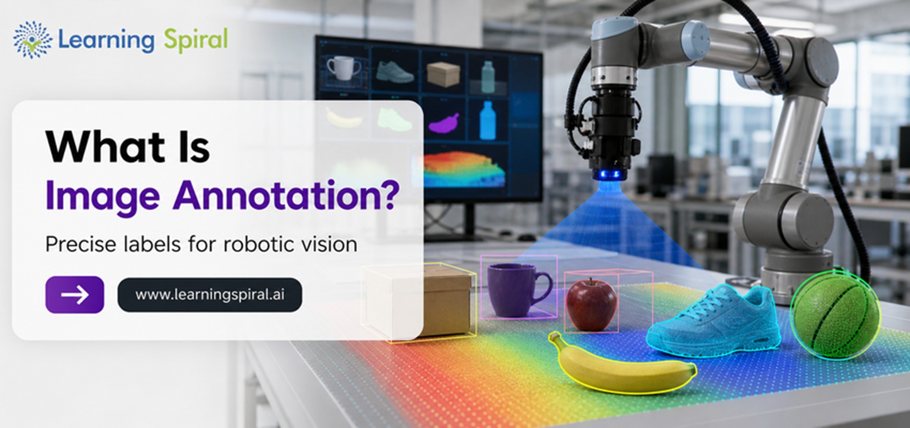
Image annotation for robotics transforms raw images and videos into structured training data. Discover its types, applications, challenges and role in developing reliable robotic vision systems.
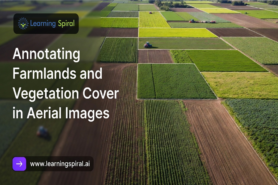
Farmers and agri-tech teams are drowning in aerial data but starving for usable insight. Drones and satellites capture millions of acres of farmland daily, yet raw imagery means nothing to a machine learning model without precise, structured annotation. Here's how that gap gets closed.
A single football match generates over 5,000 frames of action every minute - and somewhere in there is the goal, the foul, the match-winning save. Automated highlight generation promises to find it instantly. But it only works if the underlying video annotation is right.
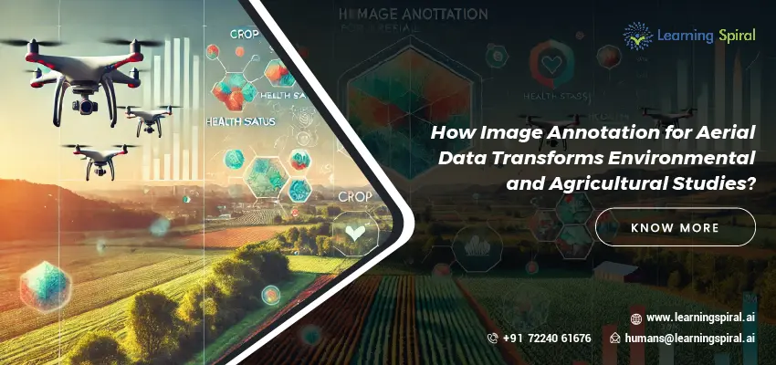
Aerial data captured through drones and satellites is revolutionizing environmental and agricultural studies, providing detailed insights into landscapes, ecosystems, and agricultural practices. However, to truly harness the value of this data, image annotation plays a crucial role. At Learning Spiral AI, we specialize in providing comprehensive image annotation services...
We use cookies on our website to give you the most relevant experience by remembering your preferences and repeat visits. By clicking “Accept All”, you consent to the use of ALL the cookies. However, you may visit "Cookie Settings" to provide a controlled consent.
This website uses cookies to improve your experience while you navigate through the website. Out of these, the cookies that are categorized as necessary are stored on your browser as they are essential for the working of basic functionalities of the website. We also use third-party cookies that help us analyze and understand how you use this website. These cookies will be stored in your browser only with your consent. You also have the option to opt-out of these cookies. But opting out of some of these cookies may affect your browsing experience.
Necessary cookies are absolutely essential for the website to function properly. These cookies ensure basic functionalities and security features of the website, anonymously.
Cookie
Duration
Description
cookielawinfo-checkbox-analytics
11 months
This cookie is set by GDPR Cookie Consent plugin. The cookie is used to store the user consent for the cookies in the category "Analytics".
cookielawinfo-checkbox-functional
11 months
The cookie is set by GDPR cookie consent to record the user consent for the cookies in the category "Functional".
cookielawinfo-checkbox-necessary
11 months
This cookie is set by GDPR Cookie Consent plugin. The cookies is used to store the user consent for the cookies in the category "Necessary".
cookielawinfo-checkbox-others
11 months
This cookie is set by GDPR Cookie Consent plugin. The cookie is used to store the user consent for the cookies in the category "Other.
cookielawinfo-checkbox-performance
11 months
This cookie is set by GDPR Cookie Consent plugin. The cookie is used to store the user consent for the cookies in the category "Performance".
viewed_cookie_policy
11 months
The cookie is set by the GDPR Cookie Consent plugin and is used to store whether or not user has consented to the use of cookies. It does not store any personal data.
Functional cookies help to perform certain functionalities like sharing the content of the website on social media platforms, collect feedbacks, and other third-party features.
Performance cookies are used to understand and analyze the key performance indexes of the website which helps in delivering a better user experience for the visitors.
Analytical cookies are used to understand how visitors interact with the website. These cookies help provide information on metrics the number of visitors, bounce rate, traffic source, etc.
Advertisement cookies are used to provide visitors with relevant ads and marketing campaigns. These cookies track visitors across websites and collect information to provide customized ads.