

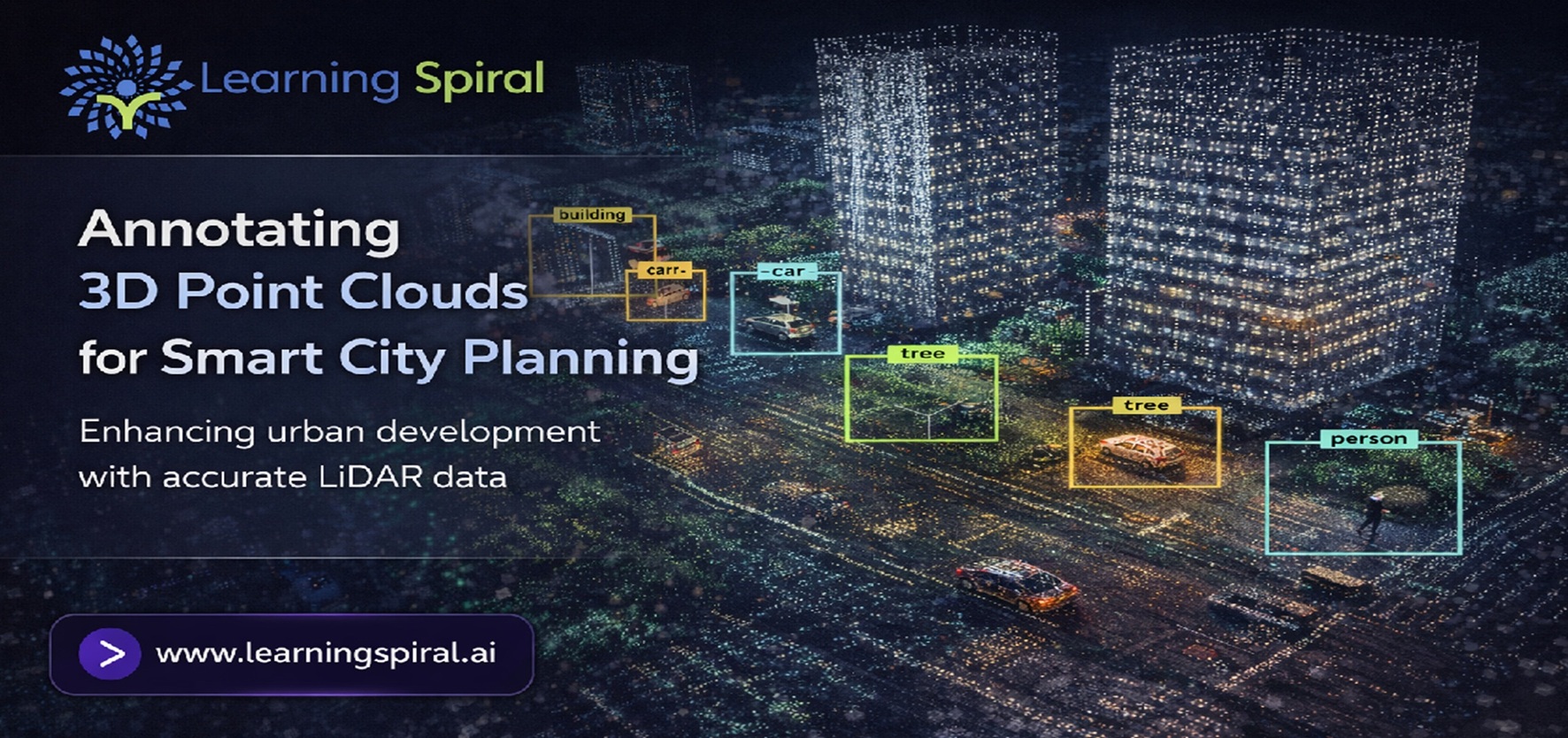
A city may look perfectly understandable to a human observer: roads connect neighborhoods, traffic signals regulate intersections, buildings form recognizable blocks, pedestrians use sidewalks, and utility infrastructure runs above and below the streets.
For an AI system, however, the same city can begin as millions of disconnected spatial measurements.
That is where 3D data becomes powerful—and where annotation becomes essential.
Modern urban mapping systems increasingly use LiDAR, depth sensors, cameras, drones, and other technologies to capture physical environments. These sensors can create a highly detailed point cloud containing spatial coordinates that represent roads, vehicles, buildings, vegetation, poles, signs, curbs, pedestrians, and countless other elements.
But collecting these points does not automatically make the data useful to artificial intelligence.
AI needs context.
A model needs to understand which points represent a road, which belong to a pedestrian, where one building ends and another begins, whether an object is a traffic signal or streetlight, and how different elements relate to one another.
This transformation from raw spatial measurements to structured intelligence is made possible through 3D point cloud annotation.
For governments, mapping companies, infrastructure developers, autonomous mobility providers, and urban technology companies, high-quality 3D data annotation can become an important foundation for building more intelligent urban systems.
What Is 3D Point Cloud Annotation?
3D point cloud annotation is the process of assigning meaningful labels to objects, surfaces, structures, and regions represented inside three-dimensional spatial data.
A LiDAR sensor, for example, sends laser pulses toward surrounding objects and measures their return. The resulting dataset can contain an enormous number of points representing the surrounding environment.
To a human viewing the scan, recognizable shapes may eventually emerge.
To a machine learning algorithm, however, those points require labels.
Through Lidar Annotation, annotators can identify vehicles, buildings, traffic signs, roads, cyclists, pedestrians, trees, utility poles, barriers, sidewalks, and other urban objects. These labels create structured training data that helps computer vision and spatial AI models understand how real-world environments are organized.
The result is not simply a better-looking 3D map.
It is a machine-readable representation of the city.
Why Does Smart City Planning Need Annotated 3D Data?
A modern smart city depends heavily on the ability to collect, analyze, and act on data related to transportation, infrastructure, utilities, public spaces, safety, and urban services.
Traditional maps tell us where infrastructure is located.
Annotated 3D datasets can help AI understand what is located there, how much space it occupies, what surrounds it, and how urban objects interact.
Consider a busy intersection.
A standard map may show roads and junctions.
A richly annotated point cloud could potentially distinguish road surfaces, lane boundaries, traffic lights, pedestrian crossings, sidewalks, parked vehicles, moving vehicles, cyclists, trees, poles, medians, and nearby buildings.
For AI systems designed to analyze urban environments, that additional semantic understanding can be extremely valuable.
1. Smarter Traffic and Transportation Planning
Traffic management is one of the most visible challenges faced by rapidly growing cities.
Congestion, unsafe intersections, inefficient road design, pedestrian conflicts, and changing traffic patterns require planners to understand how road environments function in three dimensions.
3D point cloud annotation can help AI models distinguish roads from sidewalks, vehicles from stationary objects, traffic lights from other poles, and cyclists from pedestrians.
When combined with Video Annotation and Image Annotation, spatial datasets can contribute to systems designed to analyze traffic movement, road usage, junction design, vehicle density, and pedestrian behavior.
Instead of treating a road network as flat lines on a map, AI can learn to understand the physical environment surrounding those roads.
That can support more context-aware transportation analytics and planning.
2. Mapping Buildings and Urban Infrastructure
Cities contain far more infrastructure than buildings and roads.
Streetlights, utility poles, power lines, drainage structures, barriers, trees, bridges, signs, bus stops, parking spaces, road furniture, and construction assets all contribute to the urban environment.
Manually cataloguing these assets across large cities can become difficult.
With properly annotated LiDAR data, AI models can be trained to recognize and classify different infrastructure categories within three-dimensional scenes.
This creates opportunities for automated asset inventories, infrastructure assessment, planning applications, and mapping platforms.
A well-designed Dataset for Machine Learning should therefore include not only common objects but also the infrastructure classes that matter to the specific planning use case.
3. Improving Pedestrian and Cyclist Safety
Urban planning is not only about making vehicles move efficiently.
It is also about creating safer environments for people.
Point cloud datasets can represent sidewalks, crossings, curbs, pedestrian islands, cyclists, road barriers, parked vehicles, visibility obstructions, and other spatial features that influence pedestrian safety.
When these elements are consistently labeled through data annotation, AI systems can learn the spatial relationships between vulnerable road users and surrounding infrastructure.
For example, a model may need to distinguish between a pedestrian standing safely on a sidewalk and one entering a vehicle lane.
That level of contextual understanding requires accurate annotation rather than raw sensor data alone.
4. Supporting Urban Digital Twins
Digital twins aim to create digital representations of physical environments that can be analyzed, monitored, and updated.
For cities, this may involve detailed representations of streets, buildings, transportation infrastructure, public spaces, and utilities.
3D point cloud annotation can help organize raw spatial scans into recognizable semantic components.
Buildings can be classified.
Road surfaces can be segmented.
Street furniture can be identified.
Infrastructure elements can be separated from vegetation.
Vehicles and pedestrians can be distinguished from static urban objects.
As these datasets become richer, AI systems can work with a representation of the city that contains not only geometry but also meaning.
5. Infrastructure Inspection and Maintenance
Urban assets change over time.
Road surfaces deteriorate.
Vegetation grows around infrastructure.
Construction modifies buildings.
Signs or barriers may become damaged or displaced.
Repeated LiDAR scans combined with consistent data labeling can help AI systems compare environments over time.
For infrastructure teams, this can contribute to workflows designed to detect physical changes, identify assets requiring inspection, monitor construction progress, or prioritize maintenance.
The usefulness of such AI systems depends heavily on annotation consistency.
If an object receives one label in one dataset and a different label in another, reliable comparison becomes much harder.
This is why professional data annotation services require clearly defined taxonomies and quality assurance processes.
6. Combining LiDAR With Aerial and Camera Data
Cities are too complex to understand through one sensor alone.
LiDAR provides depth and spatial geometry.
Cameras provide texture, color, signs, markings, and visual appearance.
Drone and satellite imagery provide broader geographic context.
For many urban AI applications, these data sources become more powerful when used together.
A planning project, for example, may combine LiDAR scans with Image Annotation for aerial imagery to identify buildings, construction areas, roads, vegetation, and infrastructure across larger geographic areas.
Camera datasets can then provide detailed street-level information, while LiDAR adds depth and three-dimensional structure.
This multimodal approach can provide AI systems with a more complete representation of an urban environment.
Which Annotation Methods Are Used for 3D Point Clouds?
Different smart-city applications require different forms of annotation. There is no single annotation technique suitable for every 3D dataset.
1. 3D Cuboid Annotation:
Three-dimensional bounding boxes can be placed around vehicles, pedestrians, cyclists, equipment, and other objects. Unlike a traditional 2D bounding box, a cuboid contains depth, orientation, and spatial position.
2. Semantic Segmentation:
Individual points can be assigned to semantic categories such as road, sidewalk, building, vegetation, vehicle, pole, or terrain. This helps AI understand the overall structure of a scene.
3. Instance Segmentation:
While semantic segmentation may classify several cars as the same category, instance segmentation separates each individual vehicle as a unique object.
4. Polyline and Boundary Annotation:
Road edges, lane boundaries, curbs, pathways, and other linear infrastructure can require precise geometric annotation.
5. Object Classification:
Objects identified inside the point cloud can be assigned categories and attributes. A vehicle, for example, might be further classified by type, orientation, visibility, or movement status.
6. 3D Object Tracking:
When sequential point clouds are available, objects can be tracked across multiple frames. This is useful when AI needs to understand movement and trajectories.
The correct annotation method depends on what the final AI system needs to predict.
Why Annotation Quality Matters More in Dense Urban Scenes
Urban environments are difficult training environments because they contain a large number of overlapping objects.
A pedestrian may be partially hidden behind a parked vehicle.
A traffic signal may appear among multiple poles.
Tree branches may overlap buildings.
Construction equipment may temporarily change a road environment.
Vehicles may be extremely close to one another during congestion.
LiDAR density can also vary depending on distance, sensor configuration, reflective surfaces, weather conditions, and occlusion.
These cases make annotation guidelines especially important.
A Data Annotation Company working with complex 3D environments should establish clear rules describing how partially visible objects, ambiguous boundaries, unusual infrastructure, temporary objects, and edge cases should be handled.
Without consistent rules, different annotators may interpret the same environment differently.
Human in the Loop for Complex 3D Annotation
Automation can make large annotation projects more efficient.
Pre-trained models may assist with preliminary object detection, segmentation, or classification.
But urban environments contain countless exceptions.
A construction vehicle may resemble industrial equipment.
A cyclist may be partially hidden behind another vehicle.
Temporary barriers may appear only in certain scans.
Unusual road layouts may not match patterns seen in previously labeled datasets.
This is where Human in the Loop (HITL) workflows remain valuable.
Model-assisted annotation can accelerate repetitive tasks, while trained human reviewers handle uncertain cases, validate labels, correct model predictions, and maintain consistency.
The purpose is not simply to choose between humans and automation.
The stronger approach is often to design an annotation workflow in which both contribute where they are most effective.
Building a Reliable Smart-City Annotation Workflow
A successful 3D annotation project begins long before the first point is labeled.
The project team first needs to define what the AI model is expected to understand.
If the objective is traffic analysis, vehicle categories, lane boundaries, signals, pedestrians, and road surfaces may be important.
If the objective is infrastructure management, buildings, poles, signs, utilities, vegetation, and construction assets may require more detailed taxonomies.
A small pilot dataset should then be annotated before scaling production.
The pilot helps identify ambiguous classes, annotation difficulty, sensor limitations, unusual edge cases, and improvements required in project guidelines.
Once the workflow is stable, experienced annotation teams can scale the project while quality reviewers continuously inspect samples and difficult scenes.
Professional Data Labeling Services can support this process by combining structured guidelines, trained annotators, review workflows, quality checks, and project-specific labeling standards.
From Raw LiDAR Scans to an AI-Ready Dataset
The journey from sensor output to production-ready training data can be viewed as a sequence.
Raw LiDAR scans are first collected and organized.
The project taxonomy defines what should be labeled.
Annotation instructions establish how each object should be treated.
Annotators then label the point clouds using appropriate 3D tools.
Quality reviewers inspect annotations for missing objects, incorrect classifications, inaccurate boundaries, inconsistent attributes, and temporal inconsistencies.
Corrections are made and difficult examples may be returned for additional review.
The validated dataset can then be exported in the required format and used by AI engineers during model training and evaluation.
As models improve, new edge cases can be collected and added back into the annotation cycle.
This continuous feedback loop is particularly valuable for real-world AI systems because cities themselves are constantly changing.
Why Dataset Diversity Is Important
A smart-city model trained only on clean roads during daylight may perform poorly in a crowded, partially obstructed environment.
A robust dataset should reflect the range of environments in which the AI system is expected to operate.
That can include different road types, building styles, traffic densities, seasons, weather conditions, sensor distances, construction zones, vegetation levels, lighting situations, and infrastructure layouts.
Dataset diversity should also account for rare but important edge cases.
The goal of data labeling is not simply to produce more annotations.
The goal is to produce training data that meaningfully represents the environment the model will encounter.
How Learning Spiral AI Supports 3D Data Annotation Projects
Learning Spiral AI supports enterprises building computer vision and spatial AI systems through scalable Data labeling & annotation services.
For LiDAR and spatial datasets, annotation workflows can be designed around project-specific object classes, segmentation requirements, 3D cuboids, tracking needs, quality standards, and dataset formats.
As a Data Annotation Company and Data Labeling Company working across AI data requirements, Learning Spiral AI supports teams that need structured datasets for computer vision, autonomous systems, robotics, mapping, aerial imagery, and other Physical AI applications.
The focus is on turning raw data into consistent, model-ready information through trained human annotation, defined project guidelines, structured quality control, and scalable execution.
For organizations evaluating Computer Vision Companies in India or Data Labeling Companies in India for a complex 3D annotation project, the quality of the annotation workflow matters just as much as annotation capacity.
The Future of 3D Annotation in Smart Cities
The next generation of urban AI will likely depend on increasingly multimodal datasets.
LiDAR may provide geometry.
Camera imagery may provide visual details.
Video may capture movement.
Aerial imagery may provide geographic context.
Sensor data may provide environmental information.
AI models capable of combining these signals could develop a much richer understanding of cities than systems trained on isolated data sources.
But sophisticated models still require reliable ground truth.
That makes accurate data annotation, high-quality AI Training Data Services, and well-structured AI Data Solutions important components of the smart-city AI ecosystem.
Conclusion: Smarter Cities Begin With Better-Labeled Data
LiDAR sensors can capture a city in remarkable three-dimensional detail.
But capturing the environment is only the first step.
AI must learn what those measurements mean.
3D point cloud annotation converts raw spatial scans into structured training data that allows computer vision systems to distinguish roads, buildings, vehicles, pedestrians, infrastructure, vegetation, utilities, and other important urban elements.
For smart city planning, transportation analysis, infrastructure mapping, digital twins, autonomous systems, and urban analytics, annotation provides the semantic layer that transforms geometry into actionable intelligence.
Organizations developing the next generation of urban AI therefore need more than massive datasets.
They need accurate, consistent, scalable, and intelligently designed training data.
Learning Spiral AI helps organizations transform complex spatial datasets into structured AI training data through professional data annotation services, Lidar Annotation, image annotation, video annotation, and multimodal labeling workflows.
FAQ SECTION
What is 3D point cloud annotation?
3D point cloud annotation is the process of labeling objects, surfaces, and structures inside three-dimensional spatial datasets. These labels help machine learning and computer vision models identify objects and understand their position, shape, and relationship to the surrounding environment.
How is LiDAR annotation used in smart city planning?
LiDAR annotation can help train AI systems to recognize roads, buildings, traffic infrastructure, pedestrians, vehicles, vegetation, utility assets, and other urban features. These datasets can support applications such as infrastructure mapping, traffic analysis, asset management, and urban digital twins.
What objects can be labeled in an urban point cloud?
Urban point clouds may include labels for buildings, roads, sidewalks, vehicles, pedestrians, cyclists, traffic lights, signs, poles, barriers, trees, curbs, bridges, construction equipment, and other infrastructure depending on the AI use case.
What is the difference between 2D image annotation and 3D point cloud annotation?
Image annotation primarily works with visual information represented in two dimensions. 3D point cloud annotation includes depth and spatial coordinates, allowing AI models to learn where objects are located in three-dimensional space.
Can LiDAR annotation be automated?
AI-assisted tools can accelerate parts of the annotation process through pre-labeling and model predictions. Human review remains valuable for ambiguous objects, occlusions, rare cases, inconsistent sensor data, and quality validation.
Why choose a professional Data Annotation Company for point cloud labeling?
Complex point cloud projects require consistent taxonomies, specialized annotation tools, clear guidelines, trained annotators, scalable workflows, and quality control. A professional annotation partner can help maintain labeling consistency across large and complex datasets.
