

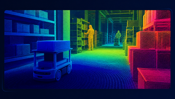
Transform complex LiDAR point clouds into accurately labeled 3D data that helps AI systems identify objects, understand depth, and interpret spatial environments with greater consistency.
Flexible annotation workflows support project-specific requirements across autonomous mobility, robotics, mapping, and other computer vision applications. Every dataset is prepared with a strong focus on precision, scalability, quality control, and model readiness for reliable real-world perception and stronger model performance.
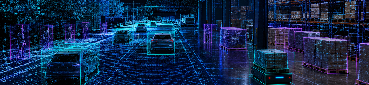
LiDAR & 3D Annotation
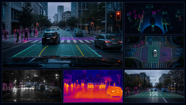
Camera Data Annotation
Camera annotation transforms visual data into structured, model-ready datasets by labeling objects, scenes, boundaries, and activities with precision. It supports applications such as autonomous mobility, surveillance, retail analytics, and computer vision systems. Consistent labeling across varied lighting, angles, and environments helps models recognize patterns more accurately, improve object detection, and perform reliably across real-world scenarios. Carefully managed workflows also ensure consistency across large datasets and diverse project requirements.
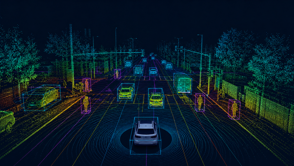
LiDAR Data Annotation
LiDAR annotation converts 3D point cloud data into clearly labeled spatial information for accurate object detection, distance estimation, and environmental understanding. By identifying vehicles, pedestrians, road elements, structures, and other objects, it enables AI systems to interpret depth and movement more effectively. High-quality annotation supports autonomous systems, robotics, mapping, and advanced perception models that depend on precise 3D awareness. Consistent labeling also strengthens training quality across routes, terrains, and conditions
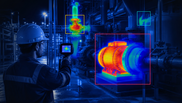
Thermal Data Annotation
Thermal data annotation helps AI models interpret heat-based imagery by identifying people, equipment, animals, objects, and temperature-related patterns. It is especially valuable in low-light, night-time, industrial, security, and monitoring environments where standard cameras may be limited. Accurate labeling improves anomaly detection, safety monitoring, predictive maintenance, and object recognition across conditions where visibility is reduced or heat signatures are critical. Structured workflows maintain labeling consistency across temperatures, environments, and use cases.
Depth Data Annotation
Depth data labeling enables AI systems to understand distance, shape, position, and spatial relationships within a scene. By annotating depth maps and 3D structures, models can better distinguish foreground and background, estimate object proximity, and navigate complex environments. This supports robotics, augmented reality, autonomous systems, and scene reconstruction applications that require dependable spatial intelligence and accurate perception. Consistent annotations also help improve model training across spaces, viewpoints, and operating conditions.