
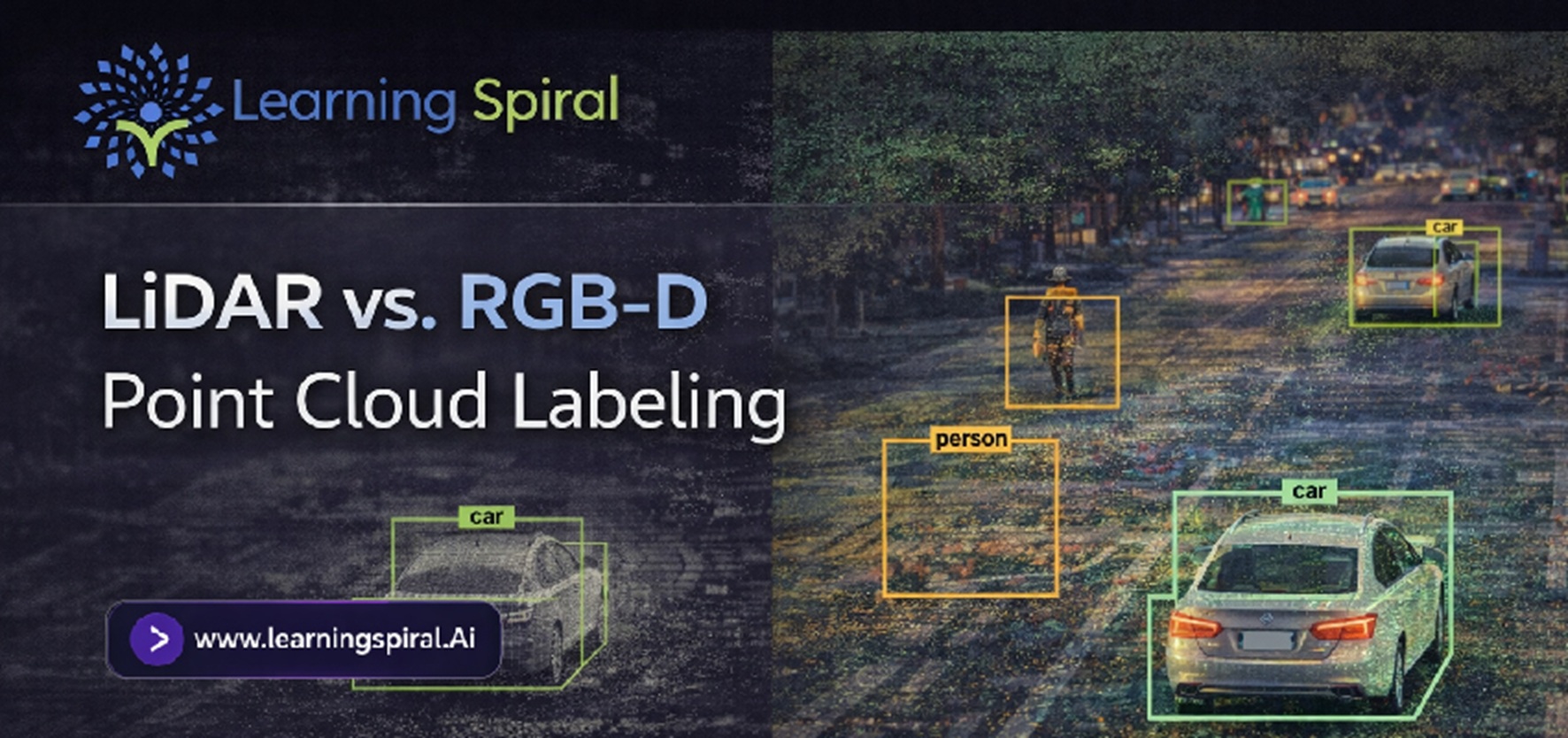
LiDAR and RGB-D sensors both give AI systems spatial information, but the data they generate - and the way that data must be labeled - can be very different. Explore how LiDAR vs. RGB-D point cloud labeling works, where each approach performs best, and what AI teams should consider...
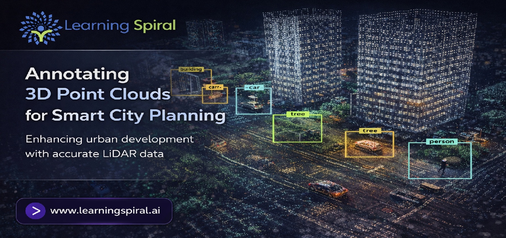
Modern cities generate enormous volumes of LiDAR and spatial data, but raw scans alone cannot guide intelligent planning. Discover how 3D point cloud annotation transforms complex urban environments into structured AI training data for smarter transportation, infrastructure, mapping, safety, and future-ready city development.
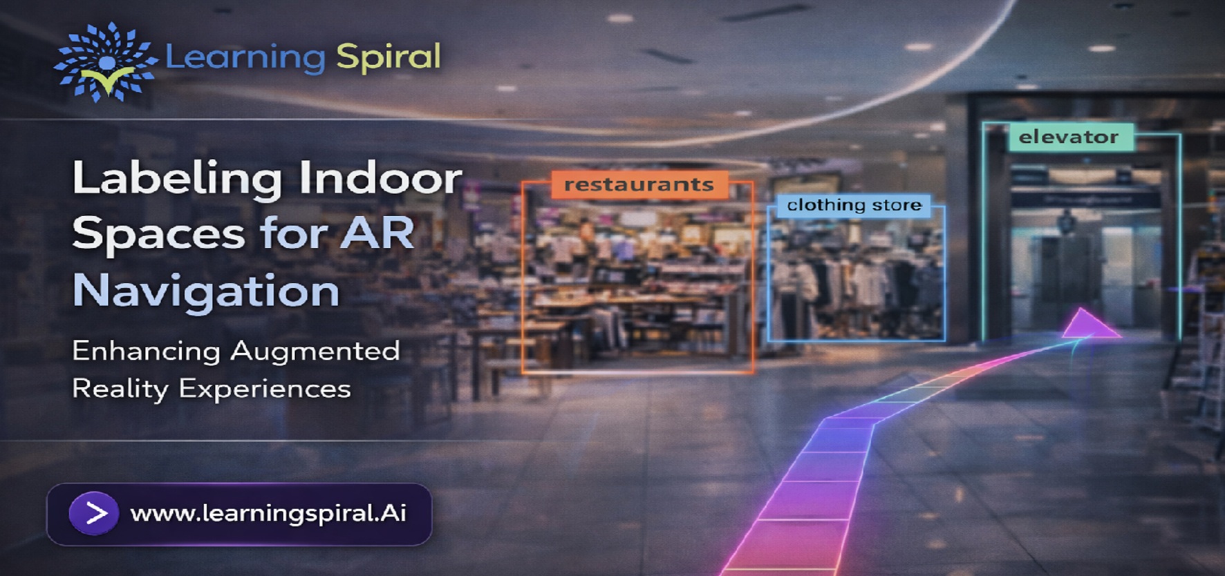
AR navigation needs more than a digital map. It requires accurately labeled visual and spatial data that helps AI understand doors, corridors, landmarks, obstacles and navigable paths. Explore how indoor space annotation turns raw images, videos and 3D scans into reliable training data for smarter AR navigation.