

What This Article Covers
- What farmland and vegetation cover annotation actually means
- Why aerial agricultural imagery is booming (with current market data)
- Core annotation techniques used for farmland and crop imagery
- Manual vs. AI-assisted annotation: a comparison
- Step-by-step annotation workflow for agricultural aerial datasets
- Common mistakes teams make (and how to avoid them)
- Industry applications beyond crop monitoring
- FAQs on cost, tools, and accuracy
What Is Farmland and Vegetation Cover Annotation?
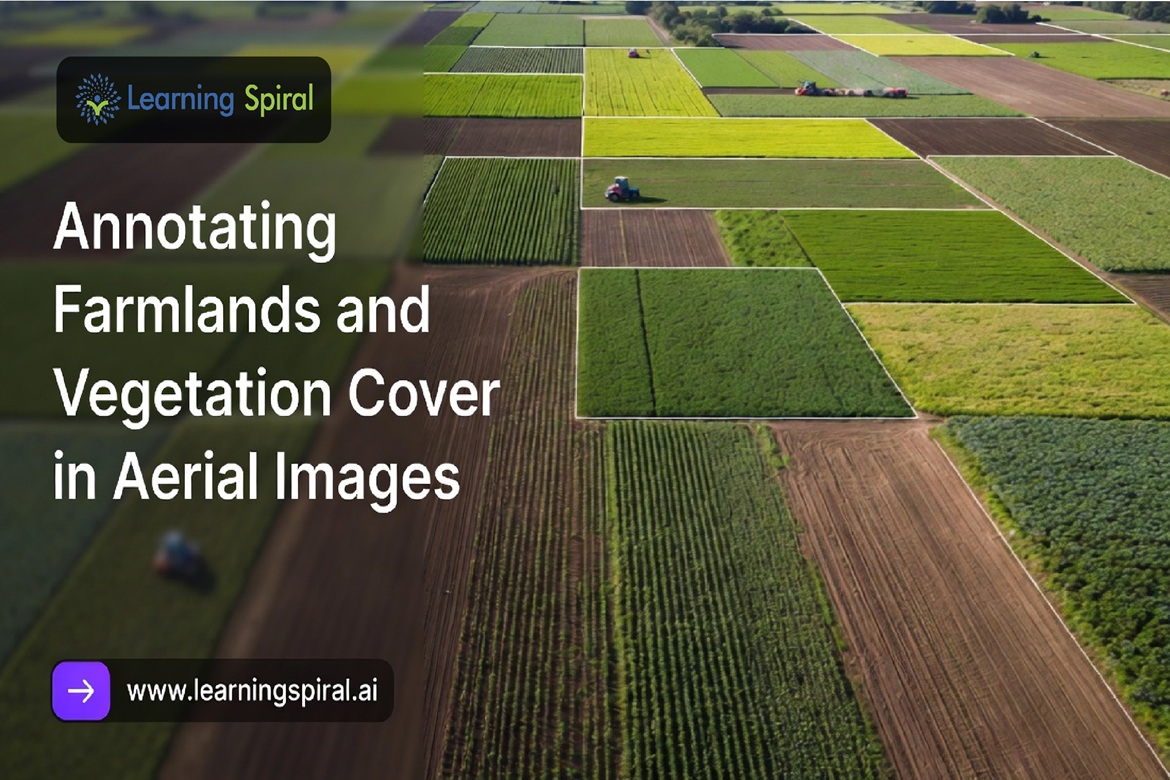
Farmland and vegetation cover annotation is the process of labeling drone-, aircraft-, or satellite-captured imagery so that computer vision models can identify crop rows, field boundaries, vegetation health zones, weeds, irrigation patterns, and land-use types. It converts raw pixels into structured training data — turning a photograph of a field into a dataset a machine can actually learn from.
Why Aerial Farmland Data Is Exploding Right Now
Precision agriculture isn’t a niche anymore — it’s becoming the operating standard for modern farming. The numbers tell the story clearly:
- The global agriculture drones market was valued at roughly $3.37–3.4 billion in 2025 and is projected to climb past $21 billion by the early 2030s, growing at a CAGR in the mid-to-high 20% range.
- Precision agriculture as a broader category is expected to reach approximately $11–12 billion in 2026, with continued double-digit annual growth through the next decade.
- Roughly 45–48% of farms globally already use some form of aerial imagery — drone or satellite — for crop health monitoring, soil analysis, or irrigation planning.
- Crop monitoring, field mapping, and precision spraying together account for well over half of all agricultural drone application use cases today.
This surge means one thing for AI teams building agri-tech products: there is more raw aerial farmland imagery available than ever, but very little of it is usable for model training without structured, accurate annotation.
Core Annotation Techniques for Farmland and Vegetation Imagery
Aerial farmland datasets are visually different from typical urban or object-detection datasets — fields are irregular, vegetation blends together, and lighting/seasonal changes affect appearance dramatically. Because of this, teams typically combine several annotation techniques:
- Polygon Segmentation – Used to outline irregular field boundaries, crop clusters, and vegetation zones where a simple box won’t capture the actual shape.
- Semantic Segmentation – Classifies every pixel into categories like healthy crop, stressed crop, bare soil, water, or weed infestation — critical for NDVI-style health mapping.
- Bounding Box Annotation – Applied to discrete objects such as irrigation equipment, farm structures, or livestock visible in aerial frames.
- Line and Row Annotation – Marks crop rows and furrows, which is essential for planting-pattern analysis and yield row-counting models.
- Multispectral & NDVI-Assisted Labeling – Annotators work alongside near-infrared and multispectral bands (not just RGB) to label vegetation stress invisible to the naked eye.
- 3D Point Cloud Annotation – Used with LiDAR-captured farmland data for terrain modeling, canopy height estimation, and elevation-based irrigation planning.
Manual vs. AI-Powered Annotation: A Comparison
| Factor | Manual Annotation | AI-Assisted Annotation |
|---|---|---|
| Speed | Slower, especially on large field boundaries | Significantly faster with pre-labeling/auto-segmentation |
| Accuracy on edge cases | Higher — human judgment handles ambiguous vegetation overlap well | Can struggle with blurred crop-weed boundaries without human QA |
| Cost at scale | Higher per-image cost | Lower per-image cost once models are tuned |
| Best use case | Complex, mixed-vegetation, or low-quality imagery | Large, repetitive datasets (e.g., row crops, uniform farmland) |
| Recommended approach | Hybrid: AI pre-labels, humans validate and correct | Hybrid: same — neither method alone is sufficient at scale |
In practice, the most reliable pipelines use a hybrid model — AI-assisted pre-annotation followed by expert human review. Organizations working with experienced AI data solution partners often achieve faster model accuracy and deployment because that human-in-the-loop QA step is built into the workflow from day one, not bolted on afterward.
Step-by-Step Farmland Annotation Workflow
- Data ingestion – Collect drone, aircraft, or satellite imagery, along with any multispectral/LiDAR layers.
- Pre-processing – Orthomosaic stitching, georeferencing, and resolution normalization.
- Taxonomy definition – Define label classes (crop type, health status, weed presence, soil type, field boundary, etc.) before annotation begins.
- Pre-labeling (optional) – AI models generate draft annotations to speed up throughput.
- Human annotation and review – Trained annotators refine, correct, and validate labels against the taxonomy.
- Quality assurance – Multi-pass QA checks for consistency, especially across seasonal or lighting variation.
- Dataset export – Structured output (COCO, GeoJSON, or custom formats) ready for model training.
Common Pitfalls in Farmland & Vegetation Annotation
| Mistake | Why It Hurts the Model | Fix |
|---|---|---|
| Ignoring seasonal variation in training data | Model fails when crop appearance changes across growth stages | Include imagery across multiple growth cycles |
| Treating all “green” as healthy vegetation | Misses early-stage stress invisible in RGB alone | Incorporate multispectral/NDVI data in annotation |
| Inconsistent labeling across annotators | Creates noisy, contradictory training signals | Enforce a strict taxonomy + inter-annotator QA checks |
| Skipping field-boundary edge cases | Leads to poor generalization at real-world field margins | Use polygon (not box) annotation for irregular boundaries |
| No domain-expert review | Agronomic nuances get missed by generalist annotators | Involve agriculture-trained QA reviewers |
High-quality annotation is not just data — it’s the foundation of reliable AI systems, and in agriculture, that foundation directly affects real-world decisions like irrigation timing and pesticide application.
Beyond Crop Monitoring: Where This Data Gets Used
Farmland and vegetation annotation doesn’t just feed crop-health dashboards. The same annotated datasets support:
- Image annotation for agriculture — yield prediction and variable-rate input planning
- Image annotation for aerial land-use and land-cover classification for government and environmental agencies
- Autonomous vehicles — self-driving tractors and harvesters trained on field-boundary and obstacle datasets
- Insurance and risk assessment — crop damage verification from aerial imagery after weather events
- Logistics and retail — supply chain forecasting tied to regional crop yield estimates
How Learning Spiral AI Approaches Agricultural Annotation Projects
As a data annotation company working across computer vision use-cases, Learning Spiral AI structures agricultural annotation projects around a hybrid AI-plus-human workflow, domain-aware QA, and format flexibility for multispectral, RGB, and LiDAR datasets alike. For teams building precision agriculture, land-use classification, or autonomous farm equipment models, having a scalable, quality-controlled annotation partner is often the difference between a model that works in a demo and one that works in the field.
FAQ Section
1. What is farmland annotation used for? It’s used to train computer vision models to detect crop types, field boundaries, vegetation health, and land-use patterns from drone or satellite imagery — powering precision agriculture, yield prediction, and autonomous farm equipment.
2. How much does aerial image annotation cost? Cost varies by technique (bounding box vs. polygon vs. semantic segmentation), image resolution, and volume. Semantic segmentation and multispectral labeling generally cost more per image than simple bounding boxes due to the added precision required.
3. Is AI-assisted annotation accurate enough for agriculture on its own? Not reliably on its own. AI pre-labeling speeds up throughput, but agricultural imagery has enough visual ambiguity (overlapping crops, seasonal change, weed-crop similarity) that human review remains necessary for production-grade accuracy.
4. What file formats are used for annotated farmland datasets? Common formats include COCO JSON, GeoJSON (for geospatial boundary data), and custom formats compatible with GIS and remote-sensing platforms.
5. Can the same aerial dataset be used for multiple applications? Yes. A well-annotated farmland dataset covering field boundaries, crop rows, and vegetation health can support multiple downstream uses — crop monitoring, insurance verification, and autonomous vehicle training — if the taxonomy is defined broadly enough upfront.
Building a computer vision model for precision agriculture, land-use classification, or autonomous farm equipment? Explore Learning Spiral AI’s data annotation services to see how a structured, scalable annotation workflow can move your project from raw aerial imagery to a production-ready dataset.
