

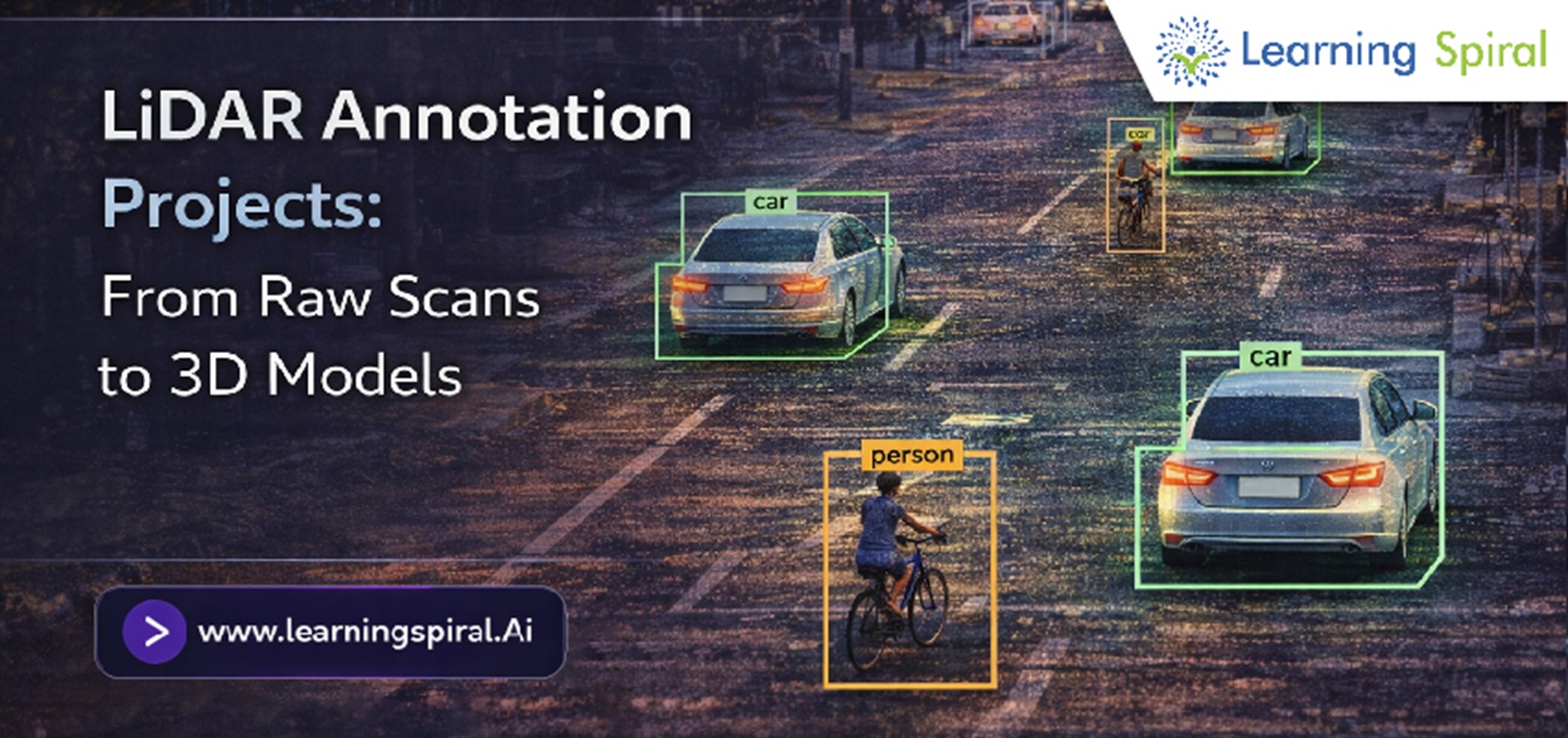
Modern spatial AI systems depend heavily on precise 3D environment perception. From autonomous vehicles navigating complex intersections to industrial robots operating in warehouses, converting unstructured depth data into actionable intelligence is critical. This transformation relies on high-quality LiDAR annotation projects that convert raw, unstructured spatial scans into highly accurate 3D point cloud annotation models.
As a leading Data Annotation Company, Learning Spiral AI delivers enterprise-grade dataset solutions that turn massive volumes of spatial data into reliable training sets for next-generation computer vision algorithms.
What is LiDAR Annotation and Why Does It Matter?
LiDAR (Light Detection and Ranging) sensors capture millions of spatial data points in real time to generate a 3D environment map. However, raw point clouds are just unorganized spatial dots. Without precise labeling, machine learning models cannot distinguish between a pedestrian, a streetlight, or a moving vehicle.
LiDAR annotation involves labeling these 3D point clouds with spatial boundaries, spatial attributes, and semantic classification. Unlike standard 2D bounding box annotation, 3D point cloud labeling operates across X, Y, and Z axes, adding depth, volume, and orientation parameters.
Key Stages in LiDAR Annotation Projects: Scans to 3D Models
Transforming raw sensor scans into high-precision 3D models follows a structured workflow to ensure maximum model performance:
1. Raw Point Cloud Data reprocessing
Raw LiDAR files collected from vehicle sensors or airborne scanners are cleaned, normalized, and aligned. This step removes sensor noise and calibrates camera-LiDAR sensor fusion data.
2. 3D Bounding Box & Cuboid Annotation
Annotators draw precise 3D cuboids around objects of interest, specifying their length, width, height, and rotation angle. This technique is extensively used in image annotation for autonomous vehicles to track real-time object trajectories.
3. Semantic & Panoptic Segmentation
In complex spatial environments, every individual point in the point cloud is labeled into specific categories—such as drivable road surfaces, sidewalks, vegetation, or buildings. This granular level of labeling provides total situational awareness for spatial AI systems.
4. Human in the Loop (HITL) Quality Verification
Automated algorithms often struggle with occlusion, sparse points at long ranges, or severe weather noise. Utilizing a robust Human in the Loop (HITL) workflow ensures that human annotators verify every edge case, maintaining dataset accuracy above 99%.
Industry Applications of LiDAR and Spatial Data Annotation
Precision 3D spatial models are accelerating innovation across multiple high-tech domains:
- Autonomous Vehicles & Mobility: High-definition (HD) map creation, obstacle detection, and trajectory prediction under varying weather conditions.
- Robotics & Automation: Enabling image annotation for robotics to empower warehouse AGVs and industrial manipulators with spatial depth perception.
- Smart Infrastructure & Mapping: City-scale 3D urban mapping, asset monitoring, and traffic flow management.
- Aerial & Agriculture Analytics: Terrain mapping, canopy volume measurement, and yield estimation through aerial point clouds.
Why Choose Learning Spiral AI for Spatial Annotation Projects?
Building high-performing AI models requires scalable, secure, and domain-expert data workflows. As one of the top Data Labeling Companies in India, Learning Spiral AI provides comprehensive data solutions tailored to your unique AI goals.
Our custom workflows cover everything from LiDAR Annotation, Image Annotation Services, and Video Annotation to complex Medical Data Annotation, Audio Data Annotation, and Text Data Annotation for LLM training.
Transform Your Raw Spatial Data into Precise 3D AI Models
Whether you are developing self-driving algorithms, autonomous delivery drones, or spatial AI applications, high-quality data labeling makes all the difference. Partner with Learning Spiral AI to scale your machine learning pipelines with enterprise-grade precision.
