

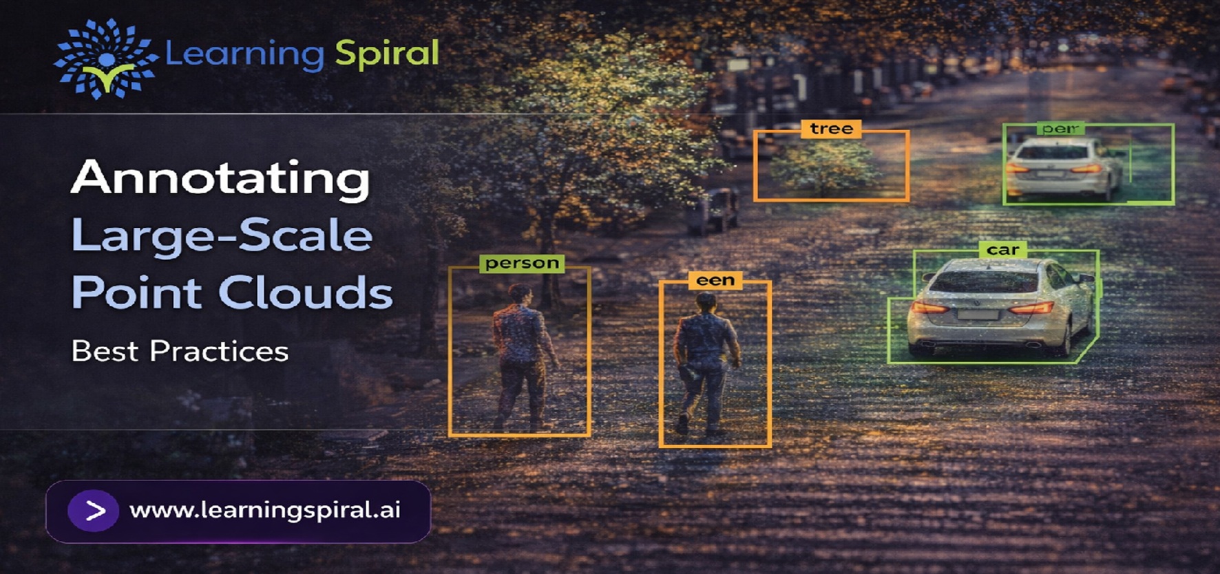
A camera captures what an object looks like.
LiDAR helps AI understand where that object exists in three-dimensional space.
That distinction is critical for autonomous vehicles, robotics, mapping, industrial automation and other Physical AI applications.
But collecting spatial data is only the beginning.
A single LiDAR scan can contain thousands or millions of points. Multiply that across long driving sequences, multiple sensors, cities, warehouses or industrial environments, and annotation quickly becomes one of the most complex parts of building a reliable Dataset for Machine Learning.
The challenge is no longer simply:
“Can we label this object?”
The real challenge becomes:
“Can we label millions of spatial objects consistently, accurately and at scale?”
This is where professional 3D point cloud annotation workflows become essential.
What Is Large-Scale Point Cloud Annotation?
A point cloud is essentially a collection of points representing objects and surfaces in three-dimensional space.
LiDAR sensors generate these spatial measurements by calculating distances between the sensor and surrounding objects. LiDAR
For AI development, however, raw points have little meaning until they are labelled.
3D point cloud annotation adds semantic information to this spatial data so that machine learning models can identify objects such as:
- • Cars
- • Trucks
- • Pedestrians
- • Cyclists
- • Buildings
- • Road barriers
- • Traffic infrastructure
- • Warehouse equipment
- • Robotic workspaces
- • Obstacles and environmental structures
The result is structured training data that enables computer vision and perception models to understand real-world environments.
Why Does Point Cloud Annotation Become Harder at Scale?
Annotating a few isolated LiDAR frames is very different from managing millions of frames.
As the dataset grows, several problems become more significant.
1. Dataset volume increases dramatically
Large autonomous driving and robotics projects may involve enormous quantities of spatial data collected across different locations, conditions and sensors.
2. Object density varies
An empty road and a congested intersection cannot be annotated using exactly the same operational assumptions.
3. Occlusion creates ambiguity
Objects may be partially visible behind vehicles, structures or other environmental elements.
4. Small inconsistencies multiply
A minor labeling difference across ten frames may seem insignificant. Across millions of objects, it becomes a dataset-quality problem.
5. Quality control becomes harder
Reviewing every annotation manually without a structured QA strategy can become expensive and inefficient.
This is why scalable Lidar Annotation must combine trained human annotators, clear guidelines, structured QA and efficient annotation workflows.
10 Best Practices for Large-Scale Point Cloud Annotation
1. Build a Clear Annotation Taxonomy Before Labeling Begins
One of the biggest mistakes in large Data annotation projects is beginning annotation before defining exactly what annotators should label.
Create a detailed class taxonomy before production starts.
For example:
- • Vehicle
- Car
- Bus
- Truck
- Motorcycle
- • Vulnerable road user
- Pedestrian
- Cyclist
- • Infrastructure
- Traffic sign
- Barrier
- Pole
- Road edge
Every class should have clear inclusion and exclusion rules.
A well-designed taxonomy reduces subjective decisions and helps a Data Labeling Company maintain consistency across large annotation teams.
2. Divide Massive Point Clouds Into Manageable Units
Large point-cloud datasets should not be treated as one giant annotation task.
Break them into logically manageable units based on:
- • Frames
- • Sequences
- • Geographic zones
- • Sensor captures
- • Time intervals
- • Scene complexity
Chunking the dataset makes workload allocation, progress tracking and quality control much easier.
It also makes large Annotation projects easier to scale across multiple annotation and QA teams.
3. Use the Right Annotation Type for the AI Objective
Not every point-cloud model needs the same annotation technique.
3D Bounding Boxes
A 3D cuboid identifies an object’s:
- • Width
- • Height
- • Length
- • Location
- • Orientation
This approach is widely useful for object-detection applications.
Point-Level Segmentation
Individual points are assigned semantic labels.
This provides more detailed environmental understanding than basic Bounding Box Annotation, but generally requires greater annotation effort.
Object Tracking
Objects are assigned persistent identities across sequential frames.
This is especially useful for autonomous vehicles, robotics and motion-prediction applications.
The annotation method should always be selected according to the final model objective rather than simply choosing the most detailed available technique.
4. Combine LiDAR With Camera Data Wherever Possible
A point cloud provides excellent spatial information but may not always provide enough visual context for confident labeling.
For example, a distant collection of points may be difficult to distinguish as a pedestrian, cyclist or roadside object from LiDAR alone.
Camera imagery can provide additional visual information.
Combining point clouds with Image Annotation allows annotators and AI systems to use complementary information from multiple sensors.
This sensor-fusion approach is especially useful in autonomous driving and robotics.
5. Maintain Consistency Across Sequential Frames
Large-scale LiDAR datasets often contain continuous sequences rather than isolated frames.
Imagine a car approaching an intersection.
The same vehicle may appear across dozens of consecutive LiDAR frames.
If its class or ID changes between frames, the resulting training data becomes inconsistent.
Annotation teams should therefore maintain:
- • Stable object IDs
- • Consistent object classes
- • Accurate orientation
- • Logical position changes
- • Consistent box dimensions
Temporal consistency is particularly important in Image annotation for autonomous vehicles, object tracking and trajectory prediction.
6. Create Detailed Rules for Occluded and Truncated Objects
Real-world environments are rarely clean.
A pedestrian may be partially hidden behind a vehicle.
A truck may be partly outside the sensor range.
An object may appear as only a small number of LiDAR points.
Your annotation guidelines should clearly define how annotators handle:
- • Partial visibility
- • Heavy occlusion
- • Objects leaving the frame
- • Sparse point clusters
- • Overlapping objects
- • Sensor noise
Without these rules, two annotators may label the same situation differently.
Consistency is often as important as individual annotation precision.
7. Use Human in the Loop (HITL) for Difficult Cases
Automation can help accelerate annotation, but complex scenes still benefit from human judgment.
A Human in the Loop (HITL) workflow can combine machine-generated predictions with trained human reviewers.
For example:
Step 1: A model generates an initial 3D bounding box.
Step 2: An annotator reviews its position, dimensions and class.
Step 3: Errors are corrected.
Step 4: Quality reviewers validate difficult or ambiguous cases.
Step 5: Corrected annotations can support future model improvement.
This approach can be particularly useful in large AI Training Data Services where both scale and consistency matter.
8. Build Multi-Layer Quality Assurance Into the Workflow
Quality should not be checked only after the entire dataset has been completed.
It should be part of the annotation process.
An effective quality workflow can include:
Layer 1 — Annotator self-check
The annotator checks obvious positioning, classification and completeness issues.
Layer 2 — Dedicated QC review
A reviewer verifies samples or completed tasks against project guidelines.
Layer 3 — Automated validation
Rules can flag suspicious annotations such as unusual dimensions, missing labels or inconsistent IDs.
Layer 4 — Edge-case escalation
Ambiguous cases are escalated to experienced reviewers or project specialists.
For scalable Data Labeling Services, this layered approach helps prevent systematic mistakes from spreading throughout an entire dataset.
9. Measure Annotation Quality With Project-Specific Metrics
“Looks correct” is not a scalable quality standard.
Large Data Annotation Services projects should define measurable acceptance criteria.
Depending on the task, teams may track:
- • Class accuracy
- • Object completeness
- • Bounding-box accuracy
- • Inter-annotator agreement
- • Missed-object rate
- • False-label rate
- • Temporal consistency
- • QA rejection rate
- • Rework percentage
These metrics help identify whether quality problems come from unclear instructions, insufficient training, difficult data or annotation-tool limitations.
10. Design the Workflow for Scale From Day One
A small pilot may involve a few hundred frames.
A production project may involve millions.
The workflow should therefore support expansion without redesigning the complete annotation process later.
A scalable workflow needs:
- • Clear SOPs
- • Defined labeling taxonomy
- • Annotator training
- • Structured task allocation
- • Version-controlled guidelines
- • Quality checkpoints
- • Feedback loops
- • Progress monitoring
- • Secure data handling
- • Capacity planning
This becomes particularly important for a Data Annotation Company handling long-running AI projects where dataset requirements continue to evolve.
Where Large-Scale Point Cloud Annotation Is Used
Autonomous Vehicles
Self-driving systems need accurate perception of vehicles, pedestrians, cyclists, roads, obstacles and other elements around them.
High-quality LiDAR data helps perception models understand both object identity and spatial position.
Robotics
Robots need to interpret three-dimensional environments before they can safely navigate or interact with objects.
Combining point-cloud labeling with Image Annotation for Robotics can support robotic perception across warehouses, manufacturing facilities, agriculture and other physical environments.
Learning Spiral AI’s robotics offering specifically covers object detection, segmentation and 3D labeling for real-world robotic applications.
Warehousing and Logistics
3D spatial data can support AI models used for:
- • Navigation
- • Object detection
- • Pallet recognition
- • Inventory movement
- • Obstacle avoidance
- • Automated material handling
Mapping and Aerial Applications
Point clouds generated through mobile mapping, drones and other sensors can support environmental mapping, infrastructure analysis and geospatial AI applications.
Industrial Automation
Industrial AI systems can use point-cloud information to understand equipment, components, workspaces and operational environments.
Common Point Cloud Annotation Mistakes to Avoid
Even experienced teams can face quality problems when project rules are unclear.
The most common mistakes include:
- Inconsistent class definitions
Different annotators interpret the same object differently. - Loose 3D bounding boxes
Excess space around objects can reduce spatial accuracy. - Missing small or distant objects
Sparse LiDAR returns can make objects easy to overlook. - Incorrect object orientation
Directional errors can affect autonomous-navigation datasets. - Inconsistent object IDs
Changing IDs across frames damages tracking datasets. - Ignoring difficult edge cases
Ambiguous cases must be documented and resolved consistently. - Waiting until final delivery for QA
Errors discovered too late can require significant rework.
The solution is not simply “more annotation.”
It is better-designed annotation.
Human Expertise Still Matters in Large-Scale 3D Annotation
AI-assisted labeling can improve efficiency, but complex real-world datasets continue to contain ambiguity.
Sensor noise, partial visibility, unusual objects and complex environments often require contextual judgment.
That is why scalable Data labeling & annotation services increasingly benefit from workflows that combine automation with trained human validation.
The objective is not to choose between humans and automation.
It is to use each where it performs best.
How Learning Spiral AI Supports 3D AI Training Data
Learning Spiral AI provides scalable data annotation and data labeling capabilities for AI and machine learning applications.
Its current offerings include LiDAR and 3D labeling, image annotation, robotics datasets, autonomous-vehicle annotation and related computer-vision workflows.
For teams looking for an Annotation company for AI, the goal should go beyond simply producing labels.
The real objective is to create a high-quality Dataset for Machine Learning that is consistent enough for models to learn from and scalable enough for production requirements.
Whether your project involves Lidar Annotation, 3D point cloud annotation, Data Labeling, Image Labeling, Video Annotation, Physical AI Data Collection, Human in the Loop (HITL) or broader AI Data Solutions, a disciplined data pipeline is the foundation for reliable AI performance.
Final Takeaway
Large point clouds create a scale problem, but scale should never become an excuse for inconsistent labels.
Successful 3D annotation depends on three things:
Clear guidelines. Consistent execution. Continuous quality control.
Build those principles into the workflow from the beginning, and raw LiDAR scans can become structured, reliable and model-ready AI training data.
