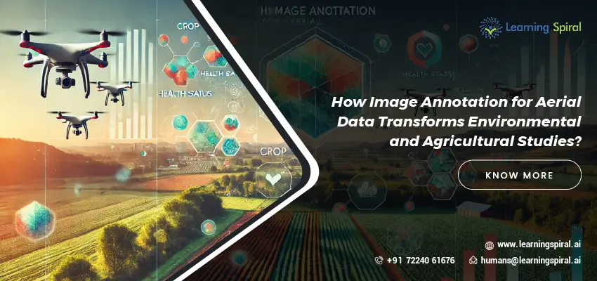
Aerial data captured through drones and satellites is revolutionizing environmental and agricultural studies, providing detailed insights into landscapes, ecosystems, and agricultural practices. However, to truly harness the value of this data, image annotation plays a crucial role. At Learning Spiral AI, we specialize in providing comprehensive image annotation services that transform raw aerial data into actionable intelligence. 
Our team of skilled annotators carefully labels aerial images, identifying key features such as vegetation types, water bodies, land use patterns, and more. This meticulous process enables researchers and organizations to gain critical insights into environmental changes, agricultural practices, and resource management. Through our precise annotations, we help our clients understand complex environmental data, facilitating better decision-making and more effective management strategies.
In the agricultural sector, accurate image annotation is vital for monitoring crop health, assessing land use, and implementing precision farming techniques. Farmers can use annotated aerial data to track crop growth, detect early signs of diseases, and optimize the use of fertilizers and water resources. By providing detailed, high-quality annotations, Learning Spiral AI supports farmers in making informed decisions that lead to improved yields and sustainable agricultural practices.
Our commitment to quality ensures that all annotated data meets the rigorous standards required for scientific research. We understand the unique challenges faced by researchers and professionals in environmental and agricultural studies and are dedicated to providing solutions that empower them to achieve their objectives.
At Learning Spiral AI, we take pride in helping our clients unlock the full potential of aerial data. Whether for environmental monitoring or precision agriculture, our expert image annotation services enable organizations to drive innovation, improve outcomes, and make data-driven decisions.
In conclusion, image annotation for aerial data is transforming the way we study and manage the environment and agriculture. Partner with Learning Spiral AI to access the expertise and technology that will take your research and operations to new heights.

