

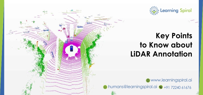
- LiDAR stands for LIght Detection and Ranging.
- LiDAR Annotation: Identifies objects in a 3D point cloud and also draws bounding cuboids around the specified objects, returning the positions and sizes of these boxes.
- Cuboid annotations are the key elements to develop ML algorithms. This is how an autonomous vehicle identifies objects from the 3D images, which are processed through LiDAR sensors.
- Polygon annotation is similar to cuboid annotation, which also provides our clients with the best data sets through object-based 3D annotations.
- LiDAR annotation is similar to image labeling apart from the difference in practice for a simple reason: It is a 3D representation on a flat-screen.
- LiDAR annotation technology is helping ML algorithms mainly by making semantic & instance segmentation of long sequences of LiDAR data highly efficient and accurate.
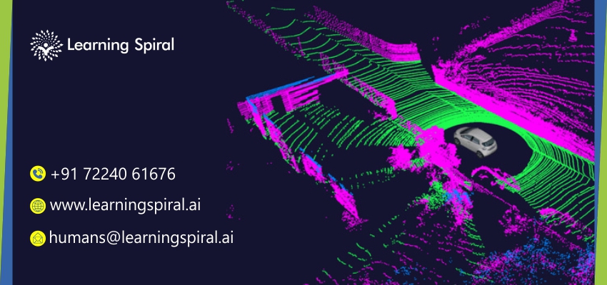
- Data Annotation’s most important type is Lidar annotation INTEGRATED WITH MACHINE LEARNING + Quality Data Annotation and Data Labeling is helping many major industries.
- Data Labeling company can provide the best experience in this field of LiDAR to develop algorithms for your autonomous vehicle.
- Semantic segmentation of 3D LiDAR data in dynamic scenes for autonomous driving applications. A system of semantic segmentation using 3D LiDAR data, including range image segmentation, sample generation, inter-frame data association, track-level annotation, and semi-supervised learning, is developed.
- With an accurate LiDAR Annotation process, autonomous vehicles understand the environment more accurately & precisely.
Learning Spiral, a Data Labeling company offers qualitative data annotation and data labeling services including LiDAR annotation. Our professional team is capable of drawing bounding boxes, cuboids, polygon, picture classification/ tagging, text annotation, image masking annotation, data annotation & labeling, 2D & 3D annotation, Semantic segmentation, 3D LIDAR Annotation, autonomous vehicle, tagging of aerial view pictures, drone technology, contour annotation, etc.
