Understanding and tracking urban expansion has become essential for infrastructure planning and sustainable development as cities grow at an accelerated rate. Annotated satellite imagery is one of the best tools for examining changes in land use and urban development. Researchers and urban planners may spot trends, forecast future development zones, and formulate well-informed policy decisions by using annotated geospatial data to train AI models.
Image Annotation’s Function in Urban Analysis
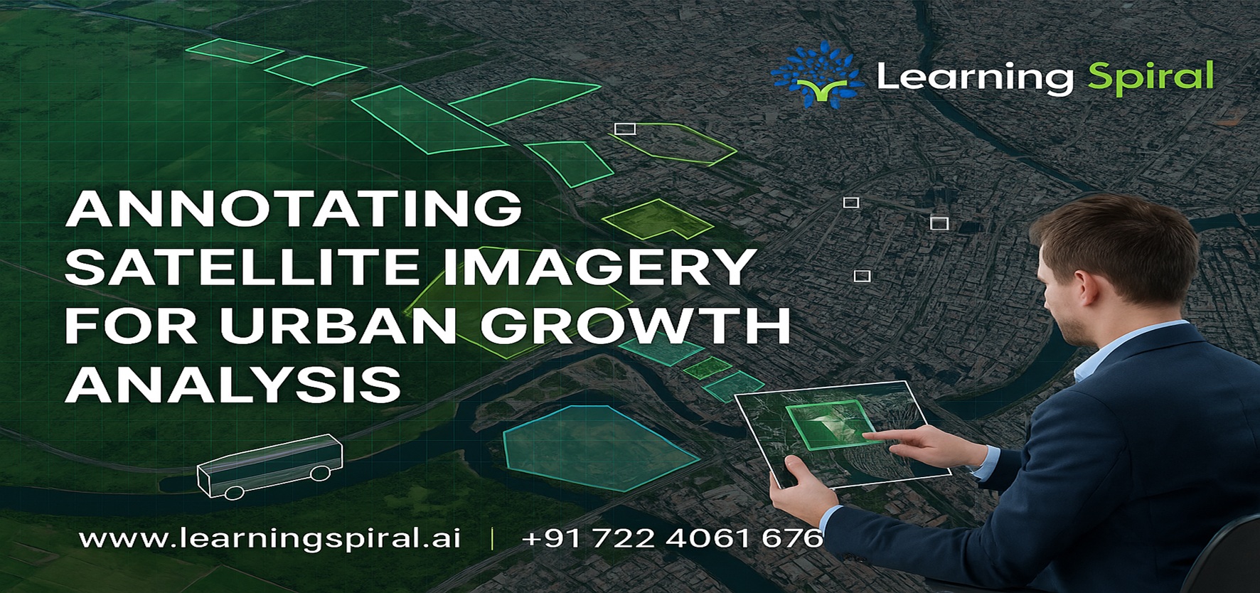
Machines can identify objects like highways, buildings, green spaces, water bodies, and construction sites from satellite or aerial photos thanks to image annotation. AI models are better able to comprehend how a city changes over time thanks to these labelled datasets. We can track encroachment or deforestation, measure urban density, and quantify land usage by using polygonal segmentation or bounding box annotation.
Elevation and structural data can also be added to the mix when combined with Lidar annotation, enabling more accurate modelling of infrastructure expansion and three-dimensional urban analysis.
This degree of thorough annotation is essential for emergency response teams, environmental scientists, and smart city developers in addition to planners. Annotated satellite imagery is the foundation of intelligent urban growth analysis, whether it is used to follow informal settlements or to monitor zoning compliance.
Keeping Humans in the Loop for Trustworthy Outcomes
In complicated metropolitan contexts, human-in-the-loop methods are required to verify correctness, even while automated technologies can expedite the annotation process. Skilled annotators are able to maintain annotation quality at scale, interpret edge cases, and correct model bias.
Learning Spiral Limited: Why Choose It?
Learning Spiral Limited is a top data labelling and annotation company that offers clients worldwide high-precision data annotation services. We provide AI data solutions for smart cities, climate science, and geospatial analytics with our extensive expertise in image, Lidar, text, and video annotation.
Our data labelling and annotation services, which are supported by alliances with leading computer vision companies in India, enable complicated data annotation projects with accuracy, speed, and scale.
Learning Spiral: Using Annotated Intelligence to Create Smarter Cities.