In the age of precision agriculture, artificial intelligence (AI) is playing an increasingly pivotal role in optimizing water usage and improving crop yields. One of the most transformative innovations in this space is the integration of labeled satellite data into irrigation AI systems. This synergy is helping farmers make data-driven decisions that save water, reduce costs, and increase agricultural productivity.
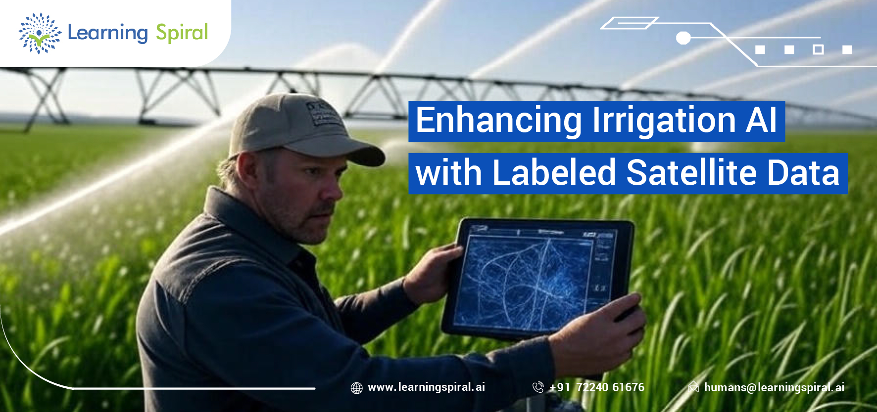
Labeled satellite data refers to satellite imagery that has been annotated or tagged with specific information—such as soil moisture levels, vegetation health, land usage patterns, and crop type distribution. When used to train machine learning models, this annotated data becomes the foundation of intelligent irrigation systems. These systems analyze real-time and historical satellite images to determine precise watering needs across different plots of farmland.
The use of data annotation in agriculture has enabled models to distinguish between irrigated and non-irrigated fields, detect stress in crops, and predict optimal watering schedules. For example, by combining multispectral satellite imagery with labeled ground truth data, AI can identify areas that are over-irrigated or under-irrigated. This improves irrigation planning, conserves freshwater resources, and helps meet sustainability goals.
One major advantage of using labeled satellite data in irrigation AI is scalability. Unlike ground sensors, satellite data covers vast agricultural areas without the need for expensive hardware. This makes it ideal for large-scale farming operations in regions like India, Africa, and Latin America.
At Learning Spiral AI, our expertise in satellite data labeling and geospatial annotation empowers AI models to deliver actionable insights for smart farming. By precisely labeling features such as crop boundaries, soil conditions, and water bodies, we help build robust datasets that enhance AI-driven irrigation systems.
As the demand for food security and sustainable farming grows, the intersection of AI, data labeling, and satellite imagery will continue to drive innovation in agriculture. The future of irrigation lies in data—and labeled satellite data is the key.
Keywords used: irrigation AI, labeled satellite data, data annotation in agriculture, smart farming, satellite imagery, water optimization, crop health monitoring, precision agriculture, geospatial annotation, sustainable farming.