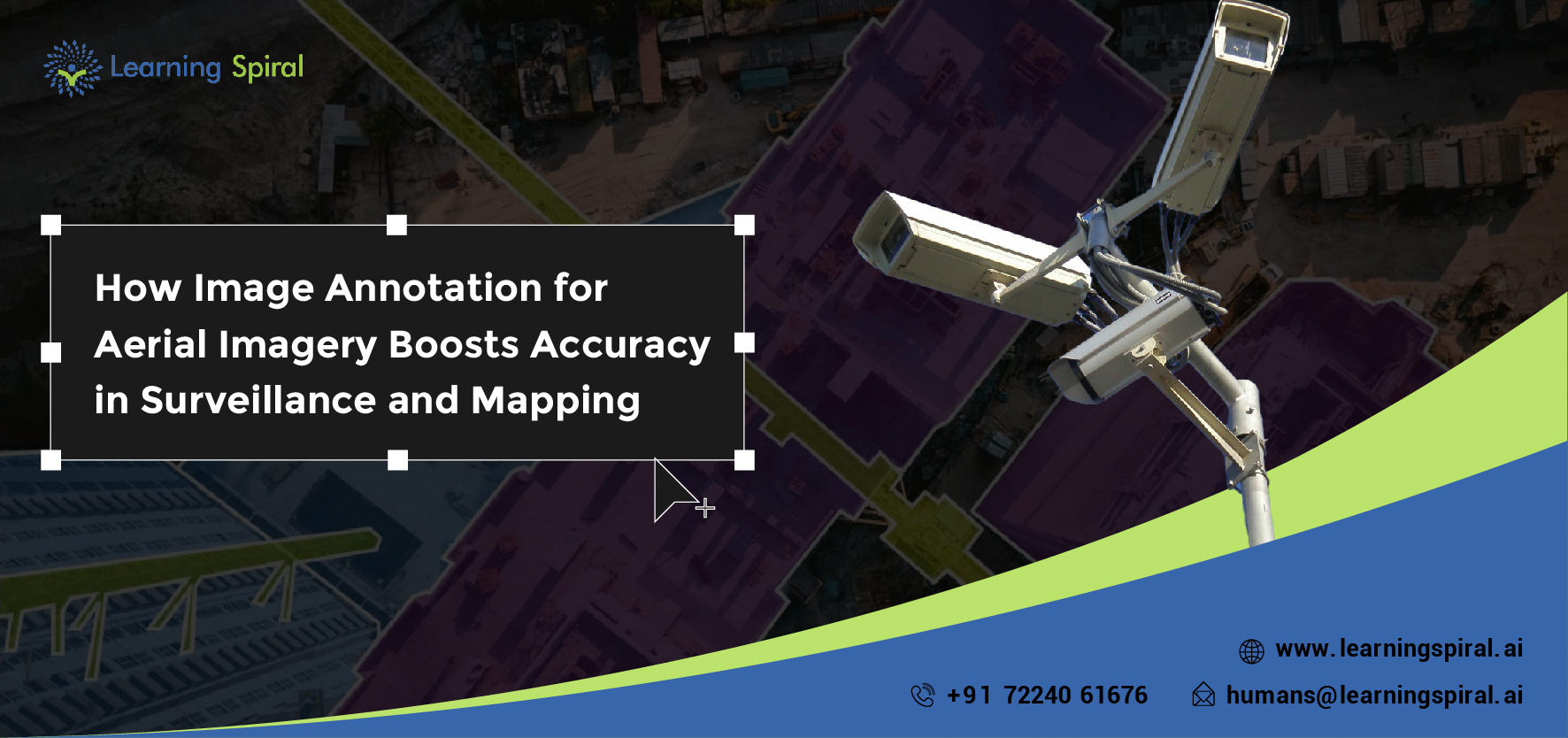
Aerial imagery is crucial in applications such as mapping, surveillance, and environmental monitoring. However, to extract meaningful insights from aerial data, it needs to be annotated correctly. Image annotation for aerial data has become a critical task, and Learning Spiral AI offers comprehensive services in this field.
Importance of Image Annotation in Aerial Data 
Aerial imagery often covers vast and complex environments, making manual analysis time-consuming and prone to errors. With accurate image annotation, AI models can identify and classify objects, detect changes in terrain, and monitor infrastructure with unprecedented precision.
Learning Spiral AI specializes in annotating aerial images for various use cases such as urban planning, environmental conservation, and security surveillance. Our team ensures that every object within the image is correctly tagged, allowing AI models to generate valuable insights from vast amounts of visual data.
Applications in Surveillance and Mapping
- Urban Development: Annotated aerial images help monitor changes in infrastructure, plan cities, and optimize resource allocation.
- Environmental Conservation: Accurate annotations enable better tracking of environmental changes, helping organizations take swift actions to conserve ecosystems.
- Security: In surveillance applications, image annotation helps AI detect potential threats, ensuring real-time response.
Why Learning Spiral AI?
Learning Spiral AI offers high-precision annotation services for aerial data, ensuring that our clients receive the most accurate datasets. Our expertise in managing large-scale annotation projects, combined with cutting-edge tools, makes us a trusted partner for companies in need of detailed aerial data analysis.