Enhance machine learning pipelines with high-quality annotated aerial and drone imagery. Train AI models to detect features, monitor landscapes, and optimize decision-making with precision.

Use cases
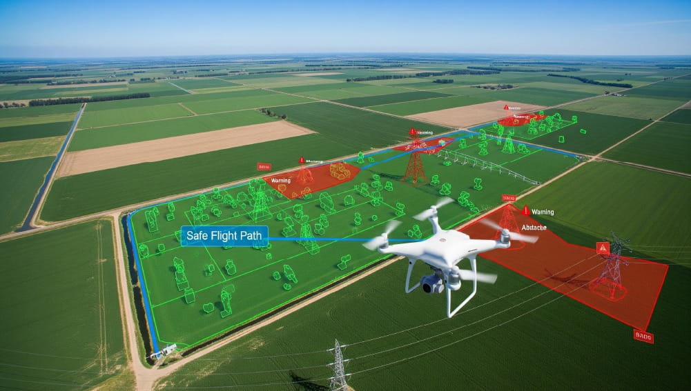
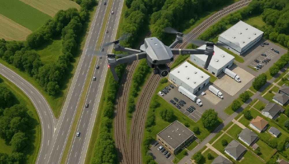
Drone Imagery for Autonomous Flight
Train AI models with high-quality annotated drone data to enable autonomous flight, ensure safe landings, and achieve precise recognition of obstacles and key objects. Enhance efficiency, safety, and accuracy in aerial operations effortlessly.
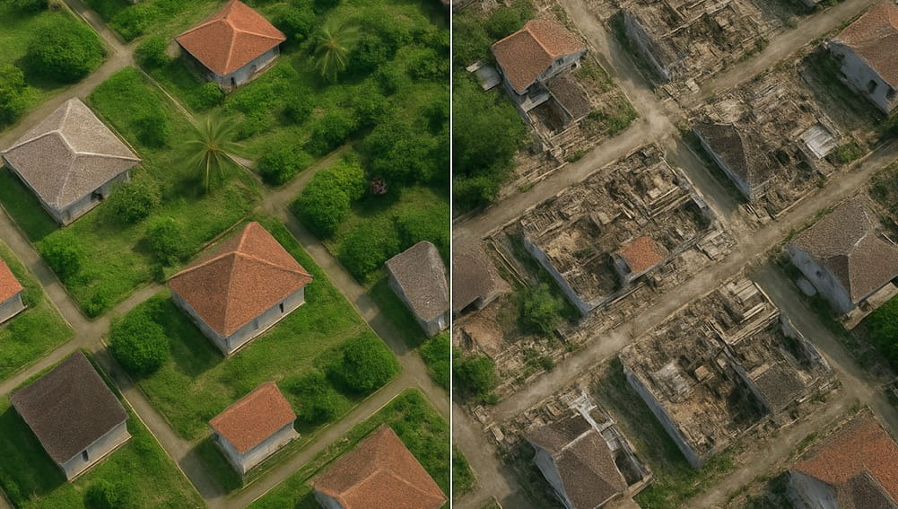
AI-Powered Disaster Management
Analyze pre- and post-disaster sites with annotated aerial imagery to strengthen prevention and response.

Smart Agriculture Analytics
Utilize AI-powered analytics to track crop distribution, measure growth rates, and ensure healthier harvests. Transform raw agricultural data into smarter farm management solutions.

Automated Vehicle Recognition
Train AI models with annotated imagery to identify vehicles, track orientation, and monitor shipment dimensions seamlessly.

Urban Planning with AI
Train AI models on accurately labeled imagery to detect houses, buildings, and infrastructure—empowering smart city planning and efficient urban management.
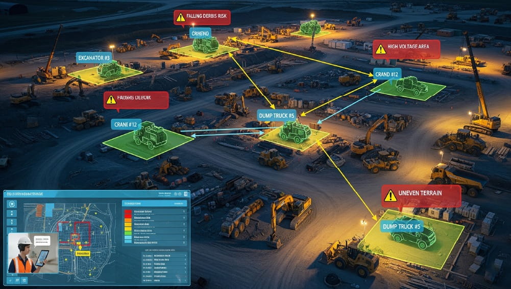
Construction Site AI Inspections
Leverage annotated imagery and AI-powered analysis to detect equipment, assess hazards, and deliver real-time actionable insights for safer and smarter construction management.
Learning Spiral AI for Aerial Imagery
Unlock the full potential of aerial imagery with AI-powered data annotation. From agriculture to construction and beyond, annotated aerial data helps train large and complex AI models with precision.
With robust annotation workflows, strict quality control, and seamless iteration, Learning Spiral AI ensures accurate insights that drive innovation and smarter decision-making.