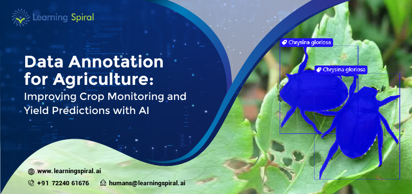
Aerial surveillance has revolutionized the way industries like agriculture, defense, urban planning, and environmental monitoring collect data. The use of drones and satellites to capture high-resolution images from the sky offers unparalleled insight, but these images need to be accurately annotated for effective analysis. Image annotation for aerial imagery...
Data annotation, the process of labeling raw data with meaningful information, is a cornerstone of machine learning and artificial intelligence. While it’s essential for training accurate models, large-scale data annotation projects can present significant challenges. This article explores some of the key obstacles and strategies to overcome them. Data...